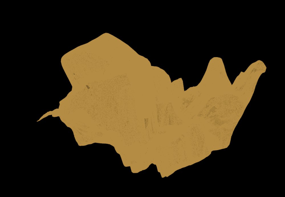
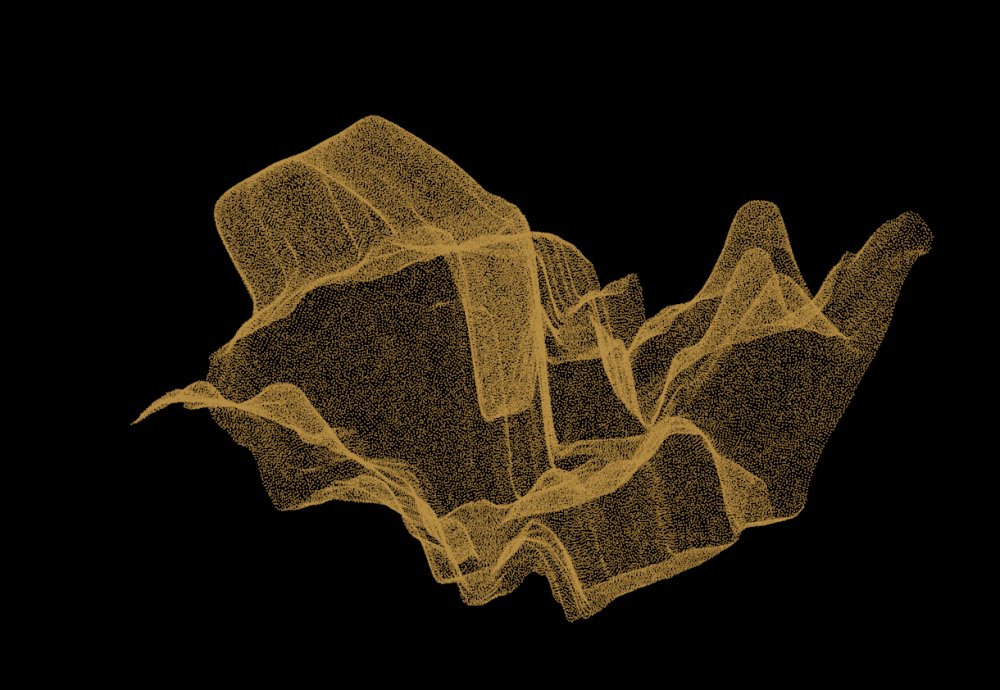
「Scanned Points」
The next imge indicates a model of overhung landform.
To recognize the shape, reduced number of points are displayed.


![]()
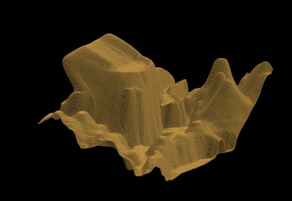
「Polygons」
Overhung Landform Points to Polygons
「Scanned Points」 The next imge indicates a model of overhung landform.
To recognize the shape, reduced number of points are displayed.
「Polygons」


![]()
![]()
According to the new method, polygons are generated.
